
OUTSIDE, AT YOUR OWN PACE
A short walk.
A longer view.
From a half-mile loop around the house to meadow trails in town and waterfalls in Rose Valley: where to walk, hike and ride during your stay.
Check Villa Availability · Plan Your Stay
THE RIDGE · SULPHUR MOUNTAIN ·
OJAI VALLEY · ROSE VALLEY
By Lesia Artymovych · Updated 16 October 2026
ON THE PROPERTY · RECOMMENDED
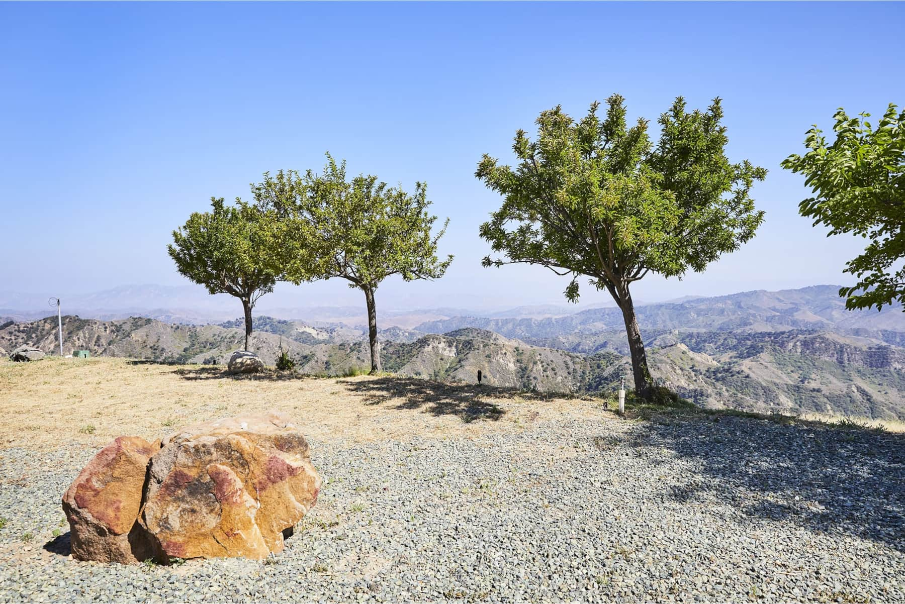
The private loop at The Ridge
For a little time outside without planning a full outing, take the private half-mile loop around the house. It is a simple way to get to know the setting, notice the changing light and add a walk to the day.
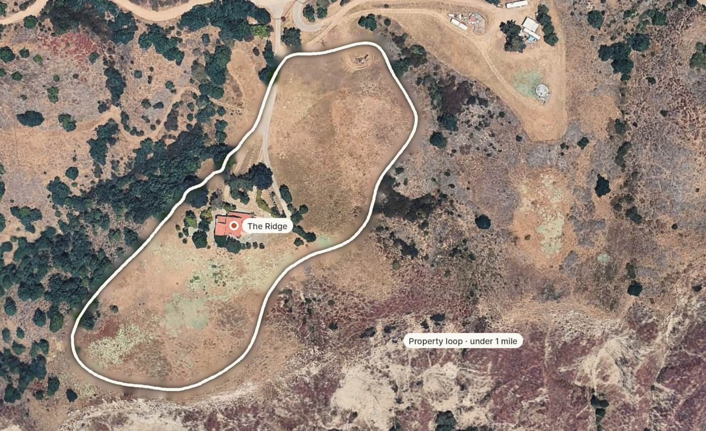
This is mountain terrain, not a paved garden path. Wear suitable shoes, supervise children and stay on the designated route. Follow the house guidance for access and conditions.
Best for: A short walk during your stay.
Distance: Half-mile loop.
Access: For villa guests; follow the approved route around the house.
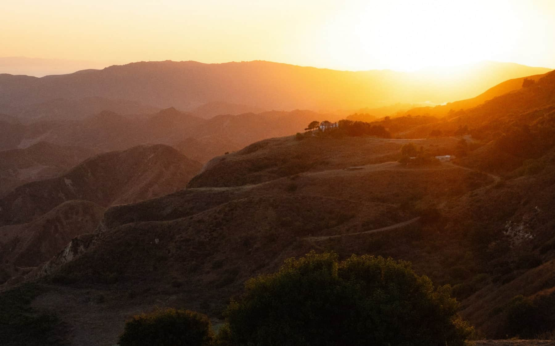
Late light over the hills around the house.
FROM THE GATE · RECOMMENDED
Sulphur Mountain Road
Sulphur Mountain Road starts at the gate, so you can set out on foot without driving anywhere. Beyond the estate, it offers hiking and biking through the landscape surrounding your stay. A short out-and-back walk may suit your morning; a longer hike or ride invites a little more planning.
The full route in public trail guides is not the same as the private loop, and its published trailhead may differ from your guest access point, so do not assume its listed distance describes a walk from the villa. Bring water and sun protection, watch for cyclists and vehicles, respect neighboring homes and private-property signs, and return in daylight.
Riders should bring their own bikes: bikes are not supplied at the house. Check permitted access and surfaces, wear a helmet, carry water and repair essentials, and share the route with walkers. This is mountain riding, not a children’s cycling circuit.
Best for: A planned mountain walk, hike or ride.
Plan your route: Sulphur Mountain Road Trail on AllTrails
WALKING WITH LITTLE ONES
Three easy hikes for kids
Short distances, gentle climbs and a payoff at the end: a pond full of birds, a waterfall, or big views over the valley. All three are a drive from The Ridge, so pair one with lunch in town. Tap a name to jump to its full guide further down this page.
EASY · ALL AGES
Ojai Meadows Preserve
Length: About 2 miles of short loops; walk as little as you like
Elevation gain: Almost none (flat)
Route type: Loops
Time: 30–60 minutes
Trail: Flat, easy paths with benches and a bridge over the wetlands
Dogs: On leash
Why kids love it: A pond with lots of birds to spot, plus plenty of room to wander. The easiest choice for toddlers and grandparents alike.
EASY · AGES 3+
Rose Valley Falls
Length: About 0.8 mile out and back to the lower falls
Elevation gain: About 150 ft
Route type: Out and back
Time: 30–45 minutes
Trail: Narrow dirt footpath under oaks and bays; mostly shaded; not suitable for strollers
Best season: Late winter and spring, after rain. The falls can be a trickle or dry by summer.
Why kids love it: A real waterfall at the end of a short walk along a creek. Stop at the lower falls: the way up to the upper tier is a steep scramble and not for children.
EASY TO MODERATE · AGES 5+
Shelf Road
Length: 1.8 miles one way (about 3.5 miles out and back); turn around whenever little legs are done
Elevation gain: About 200 ft
Route type: Out and back
Time: 1–2 hours for the full route
Trail: Wide dirt road closed to cars, with gentle grades; little shade
Start: North end of Signal Street, or Gridley Road
Why kids love it: Orange and avocado groves along the way and wide views over the Ojai Valley. Popular with families and dogs; go early or late on hot days and bring water and hats.
Distances and times are approximate. Check current trail conditions before you set out.
CLOSER TO TOWN
Walk the Ojai Valley preserves
Between a stroll at the house and a full day in the national forest, the nature preserves around Ojai offer something in the middle: easy-to-moderate trails through meadows, oak woodland and river canyons, close to town. Three of them are cared for by the Ojai Valley Land Conservancy.
The preserves are about a 40-minute drive from The Ridge, depending on your route. Pair a morning walk with coffee or lunch in town. The Conservancy’s preserves are open 7:30 am to 7 pm from April to October and 7:30 am to 5 pm from November to March; dogs must be leashed.
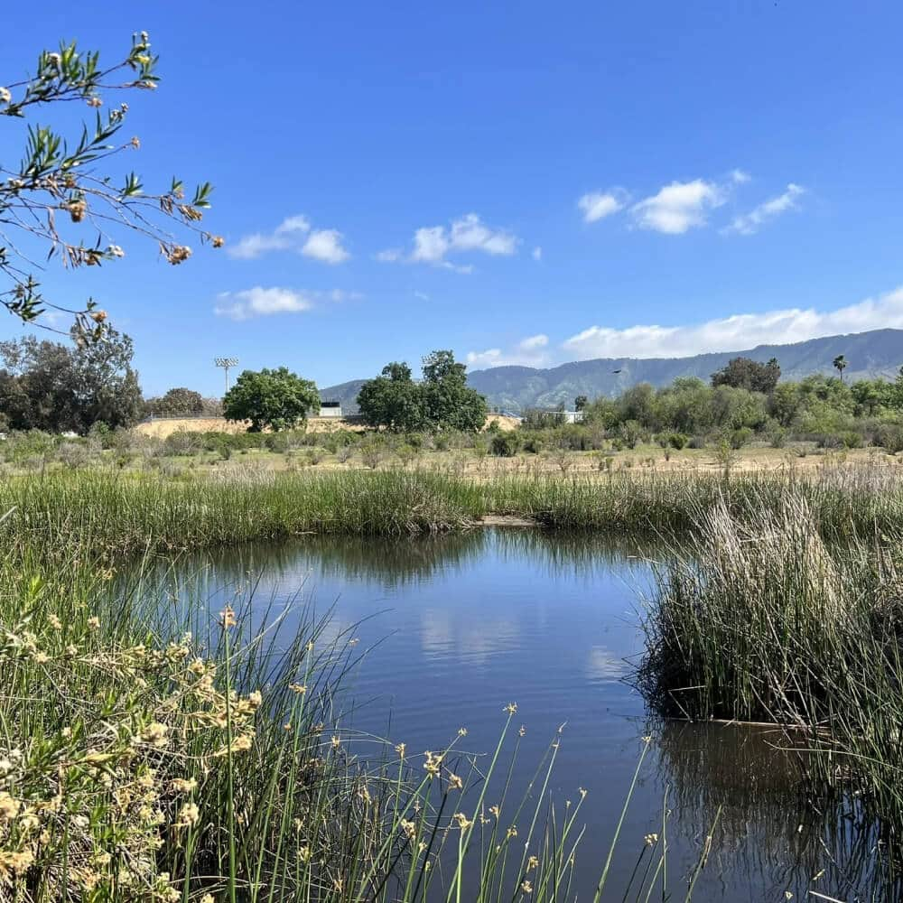
EASY WALK
Ojai Meadows Preserve
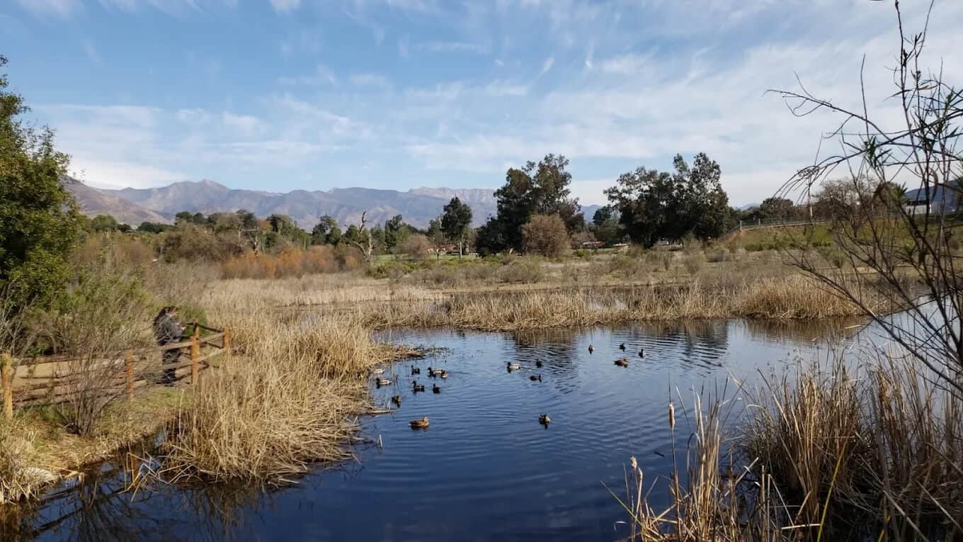
On the west side of town, next to Nordhoff High School, flat trails loop through a restored meadow, past a pond and wetlands, with the mountains all around. A gentle choice for families or a walk before dinner in town.
Distance: Short loops, about two miles in total.
Plan it: AllTrails · Google Maps · Conservancy
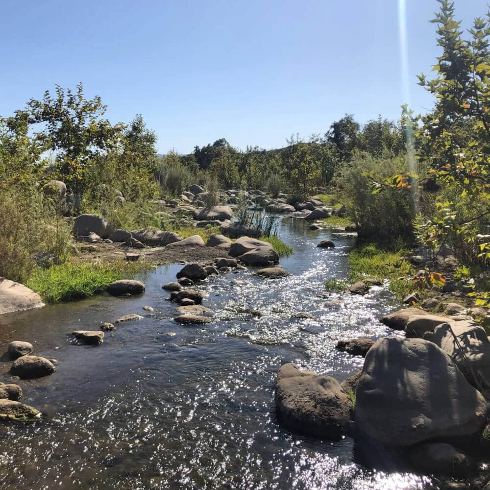
HALF-DAY HIKE
Ventura River Preserve
Nearly 1,600 acres along the Ventura River, from flat river paths and shaded canyons to climbs with ridgetop views. Follow the marked trails and the Conservancy’s map: some online maps still show old roads that no longer exist.
Distance: 4.5-mile loop from the Oso Trailhead.
Plan it: AllTrails · Google Maps · Map
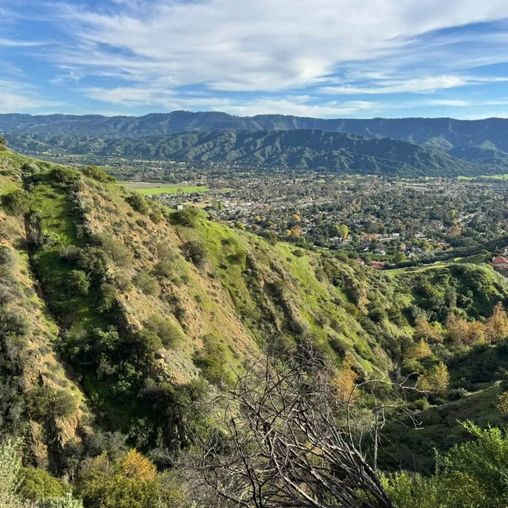
A CLIMB WITH A VIEW
Valley View Preserve
Above town, the Fox Canyon and Luci’s trails climb steadily to wide views across the valley. A proper workout: start early on warm days and carry water. Parking is limited; the Conservancy suggests the Pratt Trailhead.
Distance: About a 3-mile loop.
Plan it: AllTrails · Google Maps · Conservancy
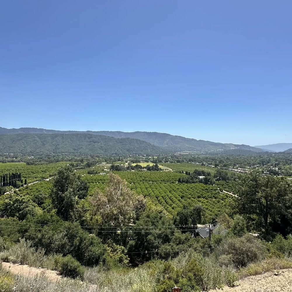
ORCHARD VIEWS
Shelf Road
A dirt road closed to cars, running along the hillside above the east end of town past orange and avocado groves, with wide views over the valley. Wide and gently graded, it is easy with children and popular with dogs; turn around whenever you like. There is little shade, so go early or late on hot days.
Distance: 1.8 miles one way, about 3.5 miles out and back.
Start: North end of Signal Street, or Gridley Road.
Plan it: Google Maps
BY ARRANGEMENT
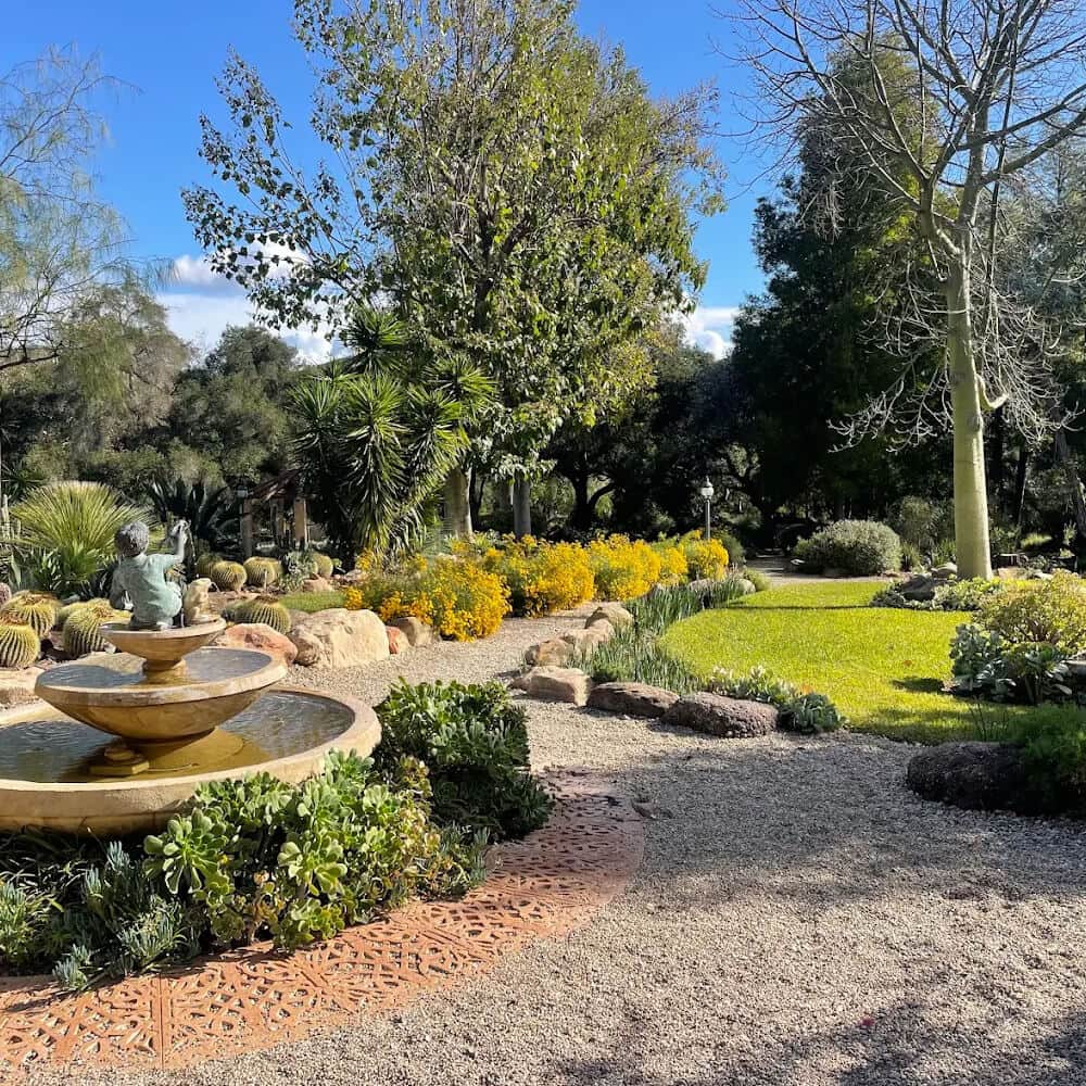
Taft Gardens & Nature Preserve
A privately owned botanical garden and nature preserve in the hills west of Ojai, known for its collection of plants from Australia and South Africa set against the native landscape.
It is not open for drop-in visits. Access is through scheduled tours, guided nature walks and occasional events, so plan ahead if you would like to include it in your stay.
Best for: Garden lovers and a slower, guided outing. Children are welcome! Tickets for ages 12 and under are free of charge. Dogs are allowed, provided they remain on a leash at all times.
Access: By scheduled tour or event only.
Before you go: Check upcoming tours and events with the garden directly.
A DAY OUT BY CAR · FULL DAY OR OVERNIGHT
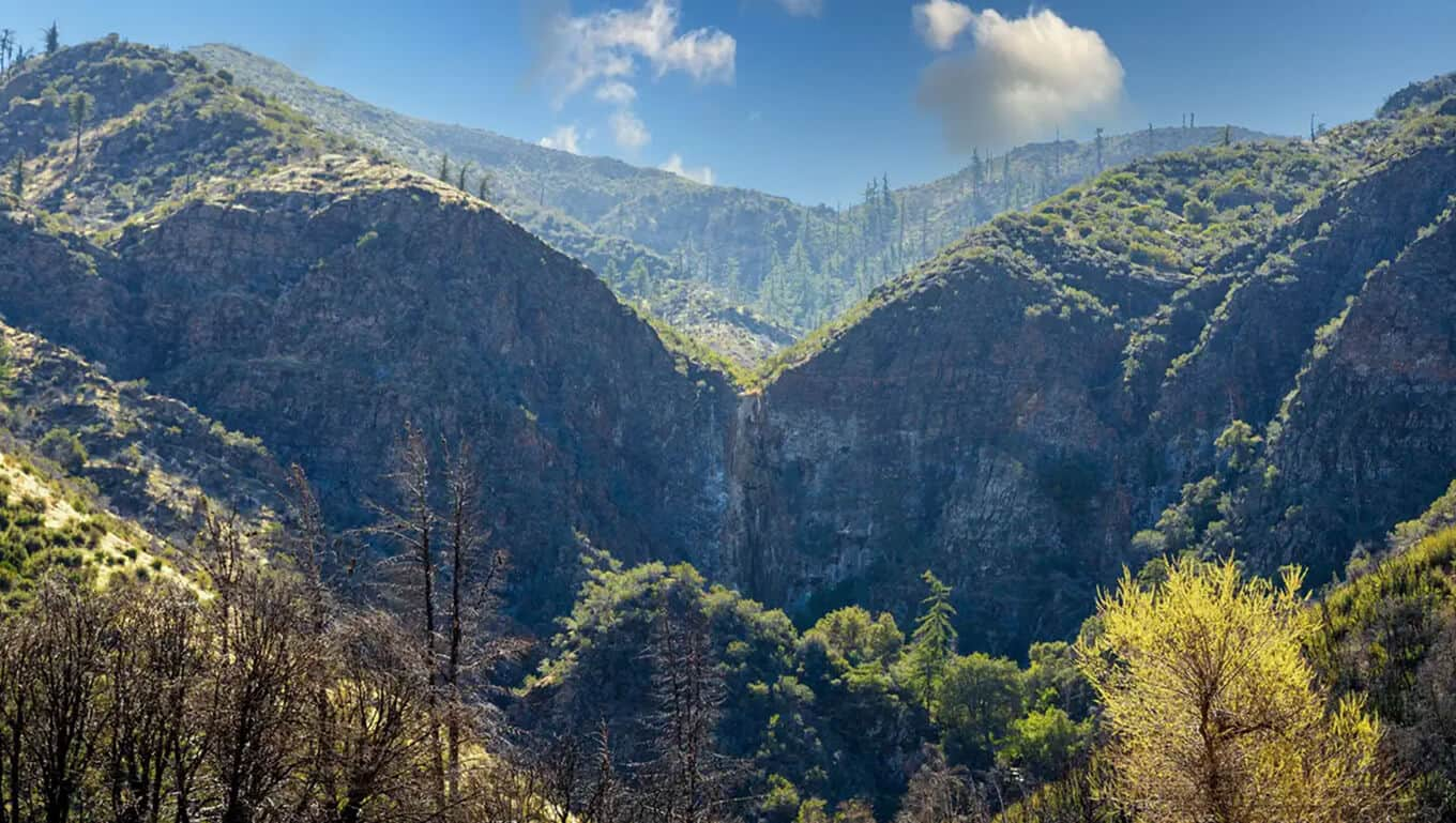
Make a day of Rose Valley
For a change of scenery, the Rose Valley area in Los Padres National Forest offers waterfall walks, pale sandstone formations and a lakeside stop. These are outings by car, not trails reached on foot directly from the villa. The longer routes here are best for stays of a week or more, and many hikers combine them with a night of camping.
Allow time for the drive down from The Ridge and onward to the trailhead. Check the access roads, weather and current Forest Service alerts before you go. Bring your own drinking water and download a map in advance.
SHORT WALK
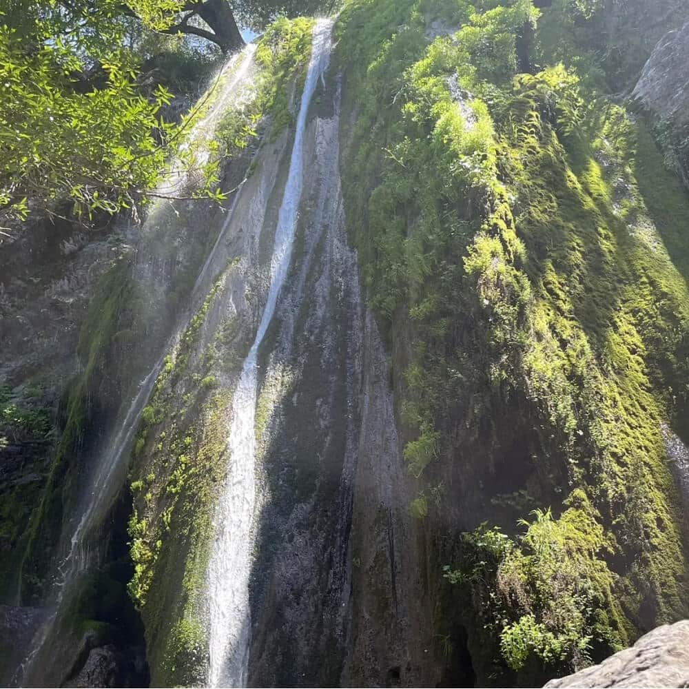
Rose Valley Falls
A short trail from Rose Valley Campground leads to the base of the lower falls. The Forest Service lists it as easy and about half a mile to the falls, so roughly one mile there and back. The waterfall depends on rain and can be dry in summer and autumn; do not climb the steep areas around it.
Plan it: AllTrails · Google Maps · Forest Service
PLANNED OUTING
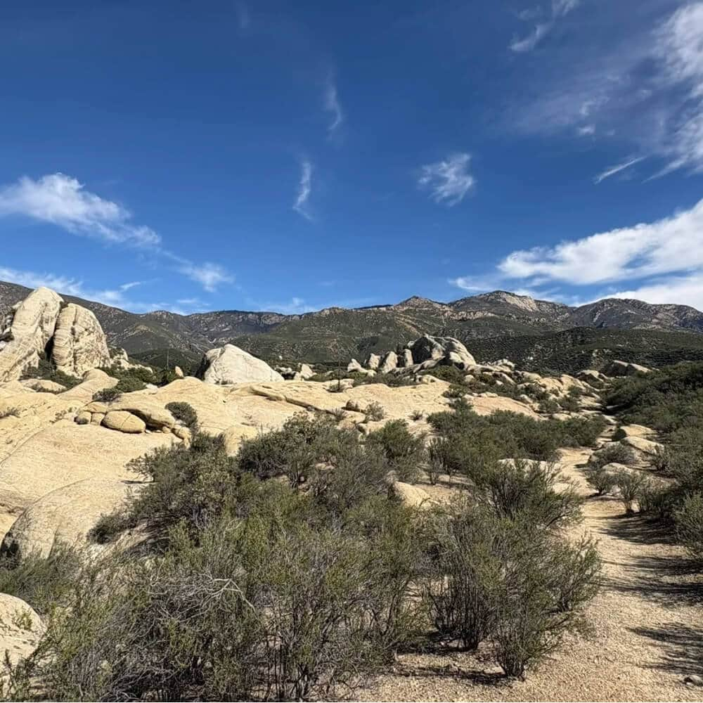
Piedra Blanca
White sandstone formations to explore at a walking pace. The trailhead also serves much longer wilderness hikes, so plan a route to the formations specifically, follow the right junctions and do not scramble onto exposed rock or assume creek crossings will be passable.
Plan it: AllTrails · Google Maps · Forest Service
EXPERIENCED HIKERS ONLY
Longer adventures need a different plan
The Sespe Wilderness offers longer routes for experienced hikers and backpackers. Bear Creek, Lion Canyon, Willett Hot Springs and Sespe Hot Springs belong in that category, not between breakfast and lunch. Expect long distances, exposed terrain, creek crossings, limited water and remote travel; hot-spring water can be dangerously hot. Research the exact route and current rules with the Forest Service. A villa stay does not provide guiding, transport or backcountry support.
BEFORE YOU HEAD OUT
A few habits for the mountain
Check current access. Storms, fire restrictions and road closures can change plans.
Pick a route for the whole group. Think about fitness, children’s ages, heat and the return journey.
Carry water, food and sun protection. Do not rely on water at trailheads.
Download your map. Cell reception can be limited.
Stay on marked routes. Respect gates, neighbors, posted signs and vineyard areas.
Keep pets leashed and follow each area’s rules.
Plan for daylight and choose a turnaround time.
Leave no trace. Pack everything out and never start an open fire at The Ridge.
Useful links: Los Padres National Forest alerts · Ojai Valley Land Conservancy trails · More Ojai trails on AllTrails · Kid-friendly trails
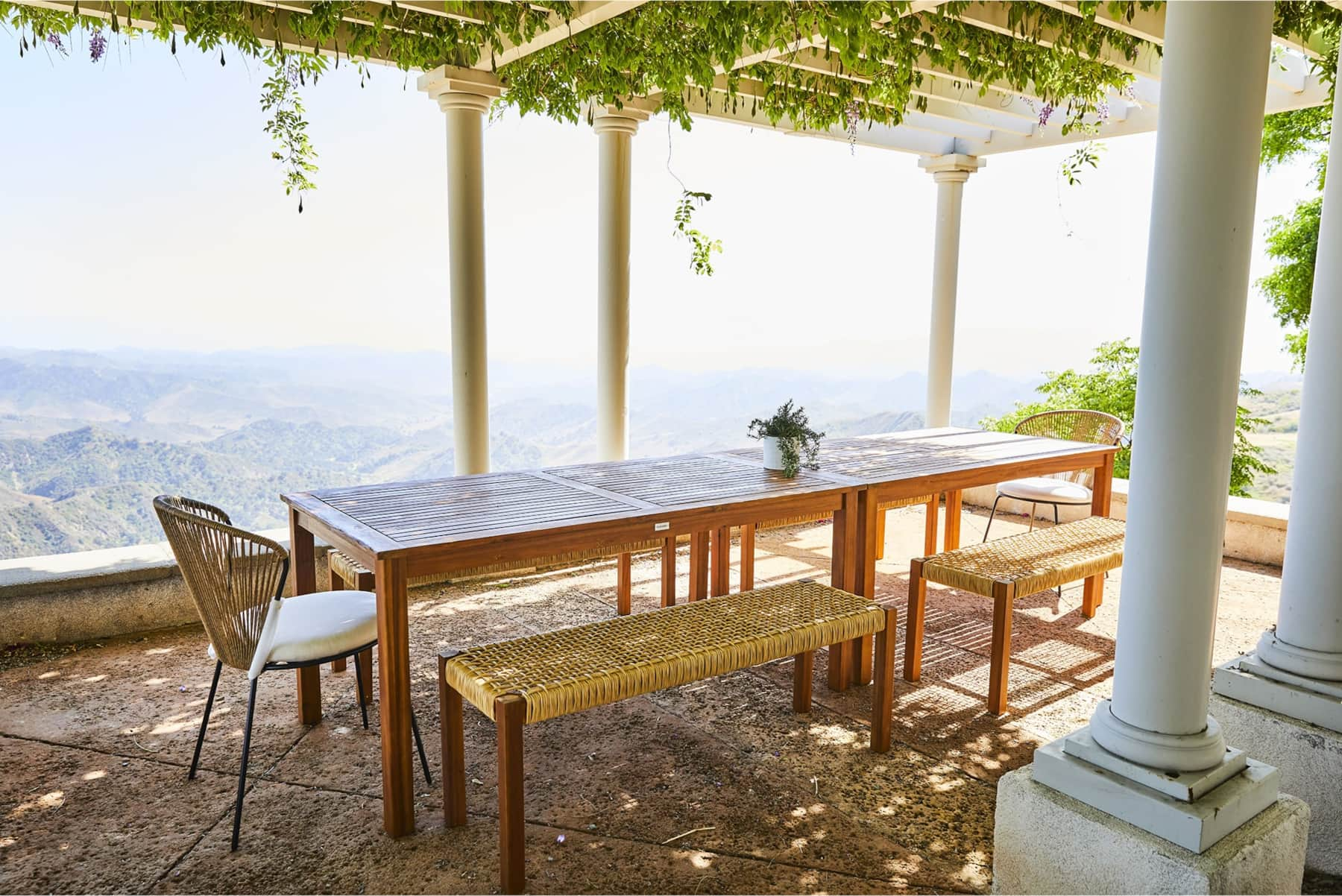
Lunch under the pergola after a morning outside.
AFTERWARDS
Then, back to the house
Something cool to drink. A late lunch. A quiet seat on a patio. You do not need to walk far for a day outside to feel like a change of pace.
Family Stays · The House · Getting Here
Find your dates below.
By Lesia Artymovych · Updated 16 October 2026
Good to know before you go
What works well: the private half-mile loop starts at the house, so you can walk without driving anywhere. In town, the Ojai Valley Land Conservancy preserves offer marked trails for a morning outing, and Rose Valley rewards a longer day with waterfalls and rock formations.
What to plan around: apart from the loop and Sulphur Mountain Road, every trail is a drive, and town is about 35 minutes away. Trails are dirt and often rocky, so most are not suitable for strollers. Summer days are hot, so start early and carry water. Trails can close after rain or for fire risk, so check the official pages below before you set out.
Sources
Ojai Valley Land Conservancy: trails and preserves
Ventura River Preserve map (Ojai Valley Land Conservancy)
Valley View Preserve (Ojai Valley Land Conservancy)
Rose Valley Falls Trail (US Forest Service, Los Padres National Forest)
Piedra Blanca Trailhead (US Forest Service)
Los Padres National Forest alerts and conditions
Taft Gardens & Nature Preserve: visiting
AllTrails: trails around Ojai
Walking and riding: quick answers
Can we walk straight from the house?
Yes. A private half-mile loop goes around the house. Longer routes, such as Sulphur Mountain Road, start outside the estate.
Are bikes provided?
No. Bring your own bike if you plan to ride, and choose a route that suits your experience.
Can we bring our dog on the trails?
Dogs must be leashed on the Ojai Valley Land Conservancy preserves. At The Ridge, the estate is gated but not fully fenced, so keep pets on a leash outside.
How far are the Ojai Valley preserves?
About a 40-minute drive from The Ridge, depending on your route.